What Is a Thermocline? Where Fish Hold in Summer, and How to Find It
A thermocline is the summer layer in a lake where water temperature drops sharply with depth — Missouri's Department of Conservation defines it as at least 0.5°F per foot — separating warm, oxygen-rich surface water from cold bottom water that runs out of oxygen. Iowa's DNR says it forms from late May to mid-June in lakes deeper than about 10 feet, and that fish concentrate as close to it as the oxygen allows.
Key takeaways
- Missouri's Department of Conservation: the thermocline is the transitional layer where temperature drops at least 0.5°F for each foot of depth.
- Iowa's DNR: it forms from late May through mid-June, typically in lakes deeper than 10 feet, including farm ponds.
- Depth varies with clarity — Iowa gives 5 feet in a turbid lake versus 16-plus feet in a clear one.
- Below it, Missouri says the bottom layer may be completely devoid of oxygen by mid-July; fish cannot survive there.
- Iowa: fish concentrate in the oxygenated upper water but stay as close to the thermocline as possible, and a good depth finder shows it as a fuzzy line.
The layer, defined
Missouri’s Department of Conservation manages ponds for a living and defines the thermocline precisely enough to measure:
The middle layer of water is known as the thermocline. It is a transitional layer where the water temperature drops at least 0.5°F for each foot of increasing depth.
Above it sits the epilimnion — warm, light water, well oxygenated by contact with the wind and by plant photosynthesis, which the agency says is where almost all fish are found in summer. Below it is the hypolimnion — the coolest and densest water, typically 54 to 59°F even in the hottest months, sealed off from the atmosphere by the two layers above it.
Iowa’s DNR describes the same structure in one line: the thermocline is a natural barrier between warm water at the top of the water column and cold water at the bottom, and the two do not mix.
When it forms and how deep it sits
Iowa’s DNR: beginning in late May through mid-June, a layer begins to form in lakes that influences how people fish for the rest of the summer. It typically forms in lakes deeper than about 10 feet, including farm ponds.
Depth is mostly a function of clarity, because sunlight is what warms the top layer:
| Water | Thermocline depth (Iowa DNR) |
|---|---|
| Turbid lake | around 5 feet |
| Clear lake | 16 feet or more |
Missouri adds that the surface layer typically shrinks as summer progresses, and that terrain and clarity set how deep it reaches. Your lake’s number is its own; the section on finding it is below.
Why the bottom dies
This is the fact that turns a physics lesson into a fishing rule. Iowa’s DNR: the lack of mixing with surface waters prevents new oxygen from entering the cool bottom water, and over time organisms use up most of what was there. By mid-summer, the oxygen below the thermocline falls to the point where fish cannot stay for long.
Missouri is starker. Little light reaches the hypolimnion, so no oxygen-producing plants live there, while decomposition of everything that sinks into it consumes the oxygen it had. By mid-July this layer may be completely devoid of oxygen. Fish cannot survive in the hypolimnion.
The EPA’s dissolved-oxygen factsheet shows the same profile as a diagram — during summer stratification the top layer is warm with high DO, and DO falls away through the thermocline into the bottom. Our dissolved oxygen page covers what the numbers mean for fish.
So the fish stack up on the line
Put the two facts together — cool water below, oxygen only above — and the fish’s answer is obvious. Iowa’s DNR: fish concentrate in the warmer, oxygenated water, but will typically stay as close to the thermocline as possible, since it has the cooler temperature and sufficient oxygen.
Missouri describes the same behaviour from the other direction: fish may use the thermocline zone to escape the heat of the surface layer, but the reduced oxygen there means they return rather quickly to the oxygenated upper water.
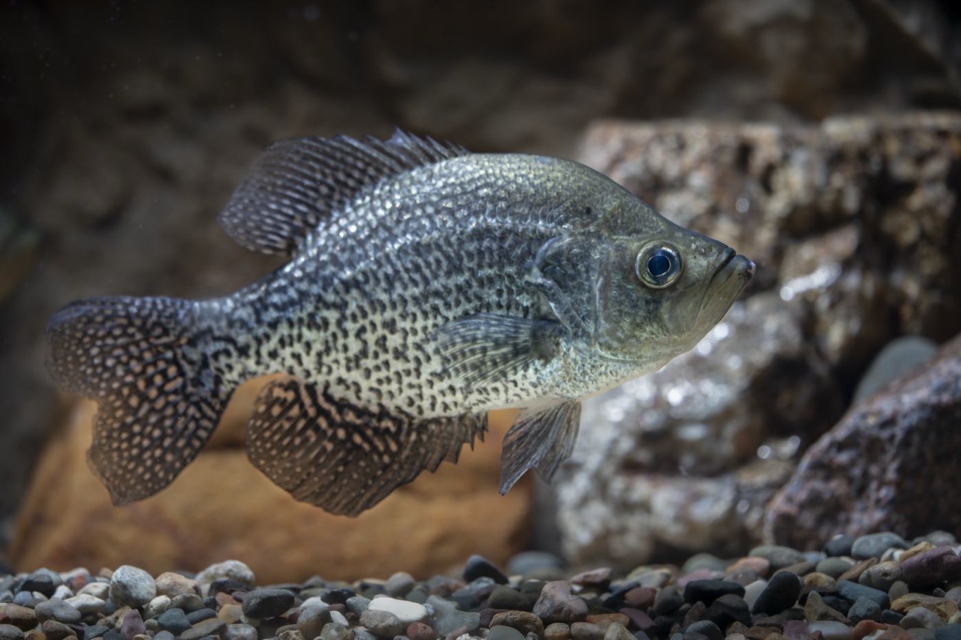
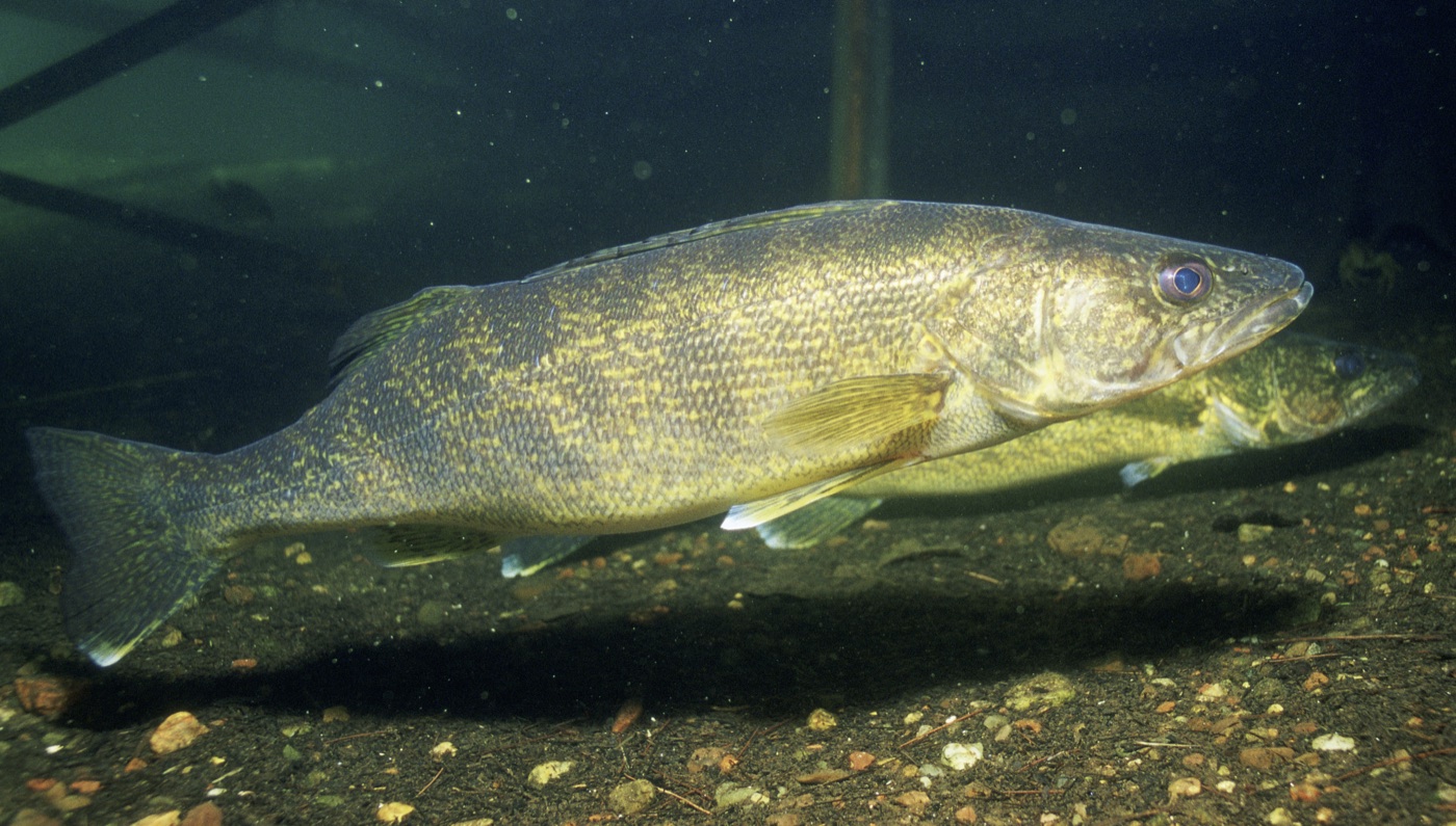
The species guides confirm it. Wisconsin’s DNR says that in summer crappie seek deeper water and are often found near the thermocline — the depth at which temperature changes rapidly and the water is cooler but still holds oxygen. The same agency describes walleye in midsummer remaining in deep, cool water and seeking prey in the depths, which in a stratified lake means the band just above the thermocline. Our crappie and walleye guides cover the presentations.
Finding it
With electronics. Iowa’s DNR quotes Chris Larson, a fisheries supervisor for southwest Iowa: some of today’s high-quality, high-resolution depth finders show a fuzzy line — the organisms and other material that collect at the density change — which identifies where the thermocline is and shows you at what depth to fish. Look for suspended fish marks sitting on or just above that line.
Without electronics. Missouri’s definition is a test you can run with a thermometer on a marked line: lower it a foot at a time and note the depth where the reading starts dropping half a degree or more per foot. That is the top of the thermocline. Fish just above it.
Then respect the clock. Iowa’s supervisor adds that you can catch suspended fish all day, but fish tend to be more active early and late in the day during summer. Our best time to fish page covers why.
Lakes that do not do this
Missouri’s guide is candid: no two ponds are exactly alike — some stratify strongly in summer and some remain well-mixed from top to bottom. A shallow, windswept lake may never separate; a river never does, because it is always moving. Iowa’s 10-foot figure is where stratification becomes likely, not a promise. If a thermometer shows a smooth, gentle decline with no sharp band, the lake has no thermocline to fish, and depth is set by cover and light instead — see reading water.
How it ends
In fall, the surface cools until it is colder and denser than the water below, sinks, and the lake mixes top to bottom — Iowa puts it from late September to mid-October. After that, both agencies say, fish use the entire water column and the summer depth rule is gone. Our lake turnover page covers that event and the upside-down winter stratification that follows it.
Frequently asked questions
What is a thermocline in a lake?
The middle of three summer layers. Missouri's Department of Conservation describes a stratified pond as an upper layer of warm, light, well-oxygenated water — the epilimnion — over a cold, dense bottom layer, the hypolimnion, with the thermocline as the transitional layer between them where the water temperature drops at least 0.5°F for each foot of increasing depth. Swimmers feel it as the band where the water suddenly turns cold. Iowa's DNR calls it a natural barrier between warm water on top and cold water below; the two do not mix.
When does the thermocline form?
Late spring. Iowa's DNR says a layer begins to form in lakes from late May through mid-June and influences how people fish for the rest of the summer. Missouri's Department of Conservation describes the surface layer warming through the summer while the bottom layer stays between 54 and 59°F even in the hottest months — the gap between them is the thermocline. It holds until fall, when cooling surface water sinks and the lake turns over, usually from late September to mid-October in Iowa's lakes.
How deep is the thermocline?
It depends mostly on clarity. Iowa's DNR says a thermocline typically forms in lakes deeper than 10 feet, including farm ponds, and gives the range: a turbid lake may have its thermocline at 5 feet while a clear lake's could be at 16 feet or more. Missouri's Department of Conservation adds that the depth of the warm surface layer depends on the pond's clarity and the surrounding terrain, and that the surface layer typically shrinks as summer progresses. There is no standard depth; there is a way to find yours, below.
Why do fish hold at the thermocline?
Because it is the coolest water that still has oxygen. Iowa's DNR explains the trap below it: the bottom layer cannot mix with the surface, so no new oxygen enters, and over the summer organisms use up what was there — by mid-summer oxygen below the thermocline falls to the point where fish cannot stay for long. Missouri's Department of Conservation says the bottom layer may be completely devoid of oxygen by mid-July and fish cannot survive in it. So fish concentrate in the warmer, oxygenated water above, but, in Iowa's words, typically stay as close to the thermocline as possible for its cooler temperature. Wisconsin's DNR describes crappie doing exactly that in summer.
How do I find the thermocline?
Two ways. Iowa's DNR quotes a fisheries supervisor: some high-resolution depth finders show a fuzzy line — the organisms and suspended material that collect at the density change — which identifies where the thermocline is and what depth to fish. Without electronics, Missouri's definition gives you the test: lower a thermometer and note where the reading starts dropping half a degree or more per foot. Then fish just above that depth. Iowa adds that fish are still more active early and late in the day even in summer.
Does every lake have a thermocline?
No. Missouri's Department of Conservation is direct about it: no two ponds are alike — some stratify strongly during summer and some remain well-mixed from top to bottom. Wind, depth and inflow all matter; a shallow, windswept lake may never separate into layers, and a river does not stratify at all because it is always moving. Iowa's 10-foot figure is a rule of thumb for where stratification becomes likely, not a guarantee.
Sources
- Fishing the Thermocline for Better Summer Success — Iowa Department of Natural Resources. Accessed September 25, 2026.
- Aquaguide: Pond Turnover (Pond Management Series) — Missouri Department of Conservation. Accessed September 25, 2026.
- Factsheet on Water Quality Parameters: Dissolved Oxygen — United States Environmental Protection Agency. Accessed September 25, 2026.
- Crappie (PUBL-FM-708), Wisconsin fish species guide — Wisconsin Department of Natural Resources, Bureau of Fisheries Management. Accessed September 25, 2026.
- Walleye (PUBL-FM-708), Wisconsin fish species guide — Wisconsin Department of Natural Resources, Bureau of Fisheries Management. Accessed September 25, 2026.
How we choose sources: sources policy.
More in this series
Know when it's worth going.
Fishing Club AI turns live weather, pressure and moon data into a simple bite forecast for your spot — so the skills you practise get used on the right day.
Get the App