Depth Maps and Underwater Contours
Depth maps shade the water by depth and draw contour lines, so you can see drop-offs, flats, channels and humps before you get there. They are a fishing aid for planning where to start, built from charted data that is approximate and may be out of date. They must never be used for navigation.
What it reads
- Charted depth and contour data from marine and hydrographic data providers
- The map area you are viewing
Read the changes, not the numbers
Depth maps are useful for the transitions they reveal, not the depths they state. Where the underlying soundings come from, and what contour resolution you can honestly expect, is covered in which fishing app has the best maps and depth contours. A fish is rarely holding at eleven feet because eleven feet is a good number; it is holding where eleven feet becomes twenty-five, or where a flat ends, or against the edge of a channel.
Contour spacing is what shows you those transitions at a glance. Lines packed tightly together mean the bottom is falling away steeply. Lines spread far apart mean a flat. A closed ring means an isolated feature — a hump if it is shallower than its surroundings, a hole if it is deeper.
Learning to read spacing rather than labels is the whole skill, and it transfers to any chart you ever look at.
The features worth finding
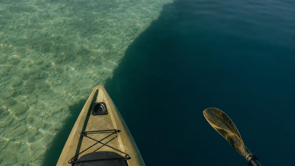
Drop-offs are the classic starting point, because they let fish move between depths without crossing open water. A steep contour running along a shoreline or around a point is somewhere to begin.
Points and humps concentrate fish for the same reason. Structure that rises from deeper water gives predators a position to ambush from and gives bait something to hold against, and an offshore hump that never breaks the surface is often the least-fished good spot on a lake.
Channels and creek beds matter especially in reservoirs, where the old river course still runs along the bottom. Fish use them as travel routes, and the bends are where they stack up.
Flats are worth reading in combination with everything else. A large flat on its own is featureless water; a flat with a channel edge running through it, or a hump on it, is a place to fish.
Where they fit with everything else
A depth map tells you about structure, which is only half the question — the other half is where in the water column fish are sitting, and that is driven by temperature and season rather than by contours. Our article on water temperature covers how that changes through the year.
Combining the two is what makes either useful. In high summer, the depth map tells you where the deep water is and the seasonal pattern tells you that is where to look; in spring, the same map points you at shallow flats instead.
On the coast, tides add a third dimension that a static contour cannot show. A flat that holds fish two hours either side of high water can be dry ground at low, so the tide article is worth reading alongside the map.
Why we are careful about this feature
Depth data invites more confidence than it deserves, which is why the limitation below is stated plainly rather than buried. A smooth, detailed-looking contour map can be drawn from soundings taken decades ago, spaced far apart, and interpolated in between — and it will look exactly as authoritative as one surveyed last year in fine detail.
Nothing on screen distinguishes those two cases for you. That is a genuine weakness of every consumer depth map, ours included, and the honest response is to tell you rather than to imply a precision the data does not have.
So use it for planning and use your sounder for truth. The map is good at showing you where to look; the sounder is what tells you what is actually under the boat.
What it does not do
- They must never be used for navigation. Use official, up-to-date nautical charts and your own depth sounder for anything involving moving a boat safely.
- The data is approximate. Charted depths can be old, sparsely surveyed, or interpolated between soundings that were metres apart.
- Water levels change. Reservoirs draw down, rivers rise and fall, and tides move the actual depth by more than the contour interval in many places.
- Hazards are not shown reliably. Submerged timber, rock, wrecks, cables, nets and shifting sandbars may be absent from the underlying data entirely.
- Coverage and detail vary by water. Some lakes and coastlines are surveyed in fine detail and others barely at all.
Full terms, including the safety and navigation disclaimer, are in our terms of use.
Frequently asked questions
Can I use the depth map to navigate my boat?
No, and this is the one limitation we would ask you to take seriously. The data is approximate, hazards may be missing, and water levels change. Navigate with official up-to-date charts and a working depth sounder, and treat the app's contours purely as a fishing planning aid.
Where does the depth data come from?
From marine and hydrographic data providers whose charts are compiled from surveys of varying age and density. That is why detail differs so much between waters — a heavily surveyed coastline and a small inland lake are not documented to the same standard.
How accurate are the depths shown?
We do not publish an accuracy figure, because it varies enormously by location and there is no single honest number. A well-surveyed harbour and a remote lake shown from sparse historical soundings appear identical on screen but are not comparable in reliability. Confirm depth on the water with a sounder.
Why do the contours not match my fish finder?
Usually water level, survey age, or interpolation between widely spaced soundings. Your sounder measures the water under you right now, which is the more reliable of the two by a wide margin. Where they disagree, believe the sounder.
What should I actually look for on a depth map?
Changes rather than depths. Tightly spaced contours mean a steep drop-off, widely spaced ones a flat, and a closed ring an isolated hump or hole. Those transitions are where fish concentrate, which is why a contour map is more useful than a depth number.